GeoGIS/About
Drone survey results anyone can open in a browser
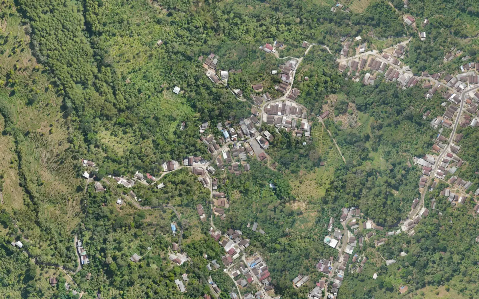
GeoGIS is a WebGIS platform for villages and regions in Indonesia. We turn orthophotos, terrain data and 3D models into an interactive map that opens on a phone or laptop, and add a directory of places run by the people who live there.
Why GeoGIS exists
Plenty of villages have been photographed from the air. The results often end up as huge files on a hard drive, a report appendix, or a print pinned to the wall of the village hall. Maps like that are hard to update and rarely get opened by residents or visitors.
GeoGIS exists to put that data to use: opened in meetings, shared in WhatsApp groups and kept current by the people who know the village best.
How we build it
Just a browser
Nothing to install. The map opens on phones and computers from a single link.
Easy on data
Orthophotos and thematic maps are sent in pieces, so only the part on screen gets downloaded.
Open formats
Place data exports to CSV, and the map layers use open formats.
Run by local people
The admin panel is made for village staff and tourism managers. It has access roles and a change history.
Data owners are credited
The data owner's name always shows on the map.
Focused on one area
Each map is built for its own area, with place categories that fit local life.
Talk to us
Send questions about data, features or working together by WhatsApp or email.